Vectorworks Site Modeling

What Is A Site Model
A Site Model is a way of looking at 3D data (spot levels or contours) in a way that allows you to see complex 3D models and 2D representations. Vectorworks uses the 3D information to create the models based on the data to help you understand the 2D and 3D nature of your site.
You can only make a Site Model if you have Vectorworks Architect, Landmark or Designer.
How Does It Work?
First you have to put in 3D data, such as spot levels, contours or a surveyor’s file. Then you ask Vectorworks to create a Site Model from this data. Vectorworks uses a set of algorithms to analyze the information and then creates the 2D and 3D representations. The algorithms can be thought of as a set of mathematical assumptions that are used to calculate the 2D contours and 3D model. Because of these assumptions you may get some odd shaped contours, or 3D models that don’t look as you expected. A Site Model is not reality, it’s a mathematical model of the data you give Vectorworks. Better data – better Site Model.
When you create a Site Model Vectorworks will make an object that can show one type of information in a 2D view (2D contours) and a different type of information if you are in 3D view (3D contours or extruded contours, etc.). Using this hybrid object is a good way of combining the 2D contours and the 3D Site Model into one object. If you are used to earlier versions of Vectorworks then this will be a very different way of working. The Site Model allows you to turn on or off the existing and proposed site models.
What Can You Use Site Modeling For?
Contours. If you put in a series of 3D spot levels you can use your Site Model to show the contours, setting the height between the major and minor contours.
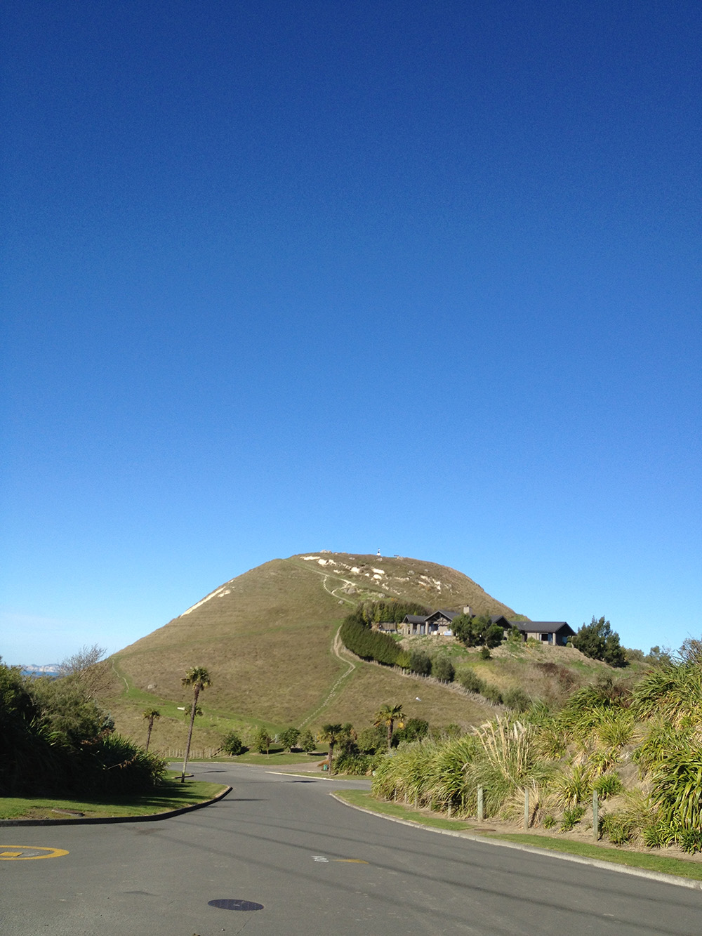
Visualization. You can create a 3D model of the site to help you see the building sitting on the site. Then you can use this to place your building, tree and landscaping. Or you could use the model to show the client how the site looks from different angles.
Height In Relation To Boundary. You can use the model to analyze the height to boundary (recession) planes to see how close to the boundary you can build by cutting a section through the site, or you can place the building model on the 3D mesh and create your height-to-boundary planes to see if the building passes through these plans. If it does you can see by how much.
Cut And Fill calculations between an existing Site Model and a proposed Site Model.
Solar Studies. When you are planning the layout for the project it can be useful to see how the adjoining buildings and landscape will affect the project.
Course Features
- Lectures 7
- Quizzes 0
- Duration 7 hours
- Skill level All level
- Language English
- Students 136
- Assessments Yes
-
Importing Information
This section is all about importing information that you can use with you site model.
-
Creating 3D Information
This section is all about converting your imported information into 3D.
-
Site Modeling
This section is about using your 3D data to create a site model, a 3D representation of your data.
-
Site Modifying
This section is about using tools and commands to change the site model.
-
Roading
This section is about using the roading tools.


